The Wrong Side of my Car
The blog that wants to go obsolete
A walk to the park
This post appeared as a guest post on Greater Auckland.
This block between Hobson Street, Cook Street, Nelson Street and Wellesley Street is home to about 3,000 people on 3 hectares *1. For those who are wondering, and who like the post about Auckland at varying densities, this is what 100,000 people per km² looks like:
And this is how you walk from that block to the nearest park, Victoria Park:

It is a short 400 to 500 metres walk to either Myers Park or Victoria Park, depending on where you are. But the term ‘short’ is relative. Does it work if you’re with children? Here’s a Key Performance Indicator for this sort of walk:
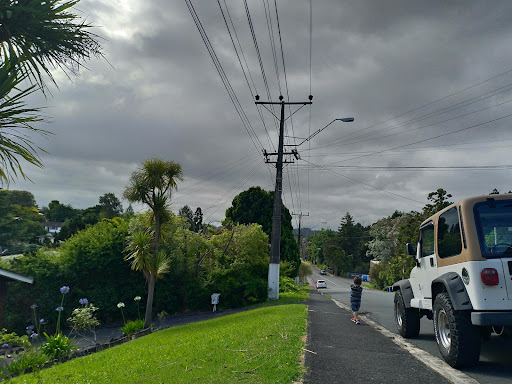
It should be safe for a 5 year old child to walk from his apartment to a park, with his parent walking a few metres behind him. Without holding hands.
It’s no mystery whether the streets currently meet this KPI or not.
Now we have to think about how to achieve this.
It will help if the park is closer by. 400 m to the nearest park is further than ideal. If you look around a bit you will discover many opportunities to bring it closer. Do we really need all that car parking across Nelson Street? Or you could turn Nicholas Street into a pedestrian only space. A bit further away, the sad little parking lot on Vogel Lane could be converted to a park.
But no matter what we do, you have to walk from your apartment to the park, somehow, and that walk should be safe.
What difference does this make? Why won’t I just hold my child’s hand? At heart this is a question of what type of space we want to have on our streets.
As a parent, how would you do this walk? Can you let your child look around by themselves? Or do you have to hold his hand for dear life? Toddlers always seem to have a way of breaking free at the wrong moment, and in some places such mishap can get him killed. Commercial Bay versus Ponsonby Road. It is a totally different experience. It is the difference between some stressful and dangerous stuff separating your home from the park, versus the walk just being part of a relaxing outing.
I cannot vouch for how a small child would experience this walk. But I can tell that quite often, they like to walk by themselves, untethered, looking around and discovering things. Can they freely do this? Can they navigate and find their way to the park? Or is the street a more hostile space, where they are helpless unless a parent is there to guide them through safely? This difference must have quite the impact on how these children will later look at those streets.

Think about what you have to deal with before you reach that park. Is it any wonder backyards are seen as essential to raise children?
So, if streets become more kid-friendly, what does that mean for a driver? Let’s put ourselves in their shoes.
With kids potentially running around off-leash, what if I have to drive my car there? How am I supposed to avoid accidents?
The answer is to drive slowly and carefully. Imagine you have to move a car through a mall on Saturday afternoon without causing mayhem. We will have to similarly avoid mayhem on these streets. Maybe we have to go the long way around. Park further away. Or find another way to get there.
All of this may be inconvenient and annoying. So be it. It is time to make the hard choices. Because at the end of the day, the desire for a quick and convenient car journey does not trump the right of that kid to, you know, live in that apartment and step outside the front door of his own home.
Overall the population density of the city centre is much lower, with about 33,000 people on 4 km². This includes the port so let’s call it 10,000 people per km². This figure, from https://www.censusauckland.co.nz/, includes most areas inside the Spaghetti Junction. Commuter Waka shows the population of selected area units so you can check for varying definitions of city centre. Much of this population is however concentrated in a few blocks, so you can get large discrepancies if you look at small areas.
This idea appeared first on Twitter, https://twitter.com/roelandsch/status/1520615736493821952 and https://twitter.com/roelandsch/status/1521002779841826816.

